Posted on April 18, 2017 by Mariangela
EO4SD agriculture at 2017 Land and Poverty conference
In the late 18th century, when global population did not even reach 1 billion, Robert Thomas Malthus wrote an essay that popularised the idea that the growth of population would eventually outrun the increase in food production and that would lead to a collapse of civilisation. However, now, in the 21st century, we are 7 billion strong and growing defying Malthusian apocalypse every day. Of course, Malthus could not foresee the exponential growth of technologies, especially not the “eyes in the sky”, Earth Observation satellite constellations, that have a major role in the sustainable agricultural development. This and other continuous efforts to keep the world out of Malthusian trap require investment and collaboration of all nations.
World Bank (WB) has approximately $1 billion in committed funds for land development. WB invests in assisting countries to improve their systems that recognise, title, survey and register land and property. These improvements will help the countries to reinforce their policies and laws, and to develop digital land administration services, impacting millions of land tenure holders around the world.
To discuss land governance worldwide, the World Bank organises an annual conference on Land and Poverty. The event has become one of the largest international events on this topic. Every year more than 1,200 participants from governments, academia, civil society, and the private sector from all over the world come together to reflect on the latest developments.
The 18th edition of the conference, titled “Responsible Land Governance-Towards an Evidence-Based Approach, was a five-day event at the World Bank’s Headquarters in Washington D.C. from 20 to 24 March. It focused on the role of data and its uses for reforming land policy, for identifying strategies to work at scale and for monitoring achievements.
On March 24th the conference attendees had a chance to participate in a remote sensing masterclass that showcased the benefits of Earth Observation technology for addressing land-related challenges. It was delivered by an expert from the EO4SD – Agriculture and Rural development project, in cooperation with ESA representatives and Geospatial operations support team members of the World Bank.
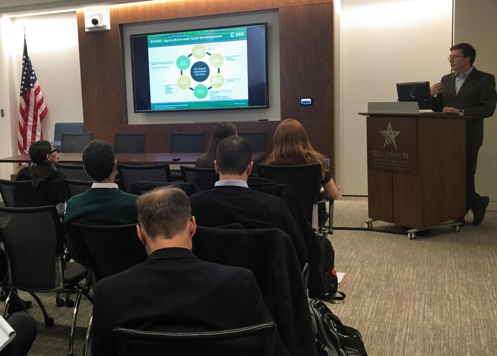
The masterclass introduced a set of services that the EO4SD consortium is consolidating and the potential application for international development projects. Some examples of these EO-based services are crop identification, crop productivity, crop water requirements. (See more here).
The information was illustrated with two case studies:
- The ongoing EO4SD work to support the Sahel and West Africa Program (SAWAP), which is the contribution of the World Bank and the Global Environment Facility (GEF) to the Great Green Wall Initiative
- The operational use of Sentinel-2 images to map croplands and crop types at national scales, as demonstrated by the SEN2AGRI project.
The last section of the masterclass covered a list of items that should be considered when organising the procurement of Earth Observation-based services. The presenter also shared a few practical tips and lessons learnt from the STARS project. This project explores the use of remote sensing in the context of smallholder farming in Sub-Saharan Africa and South East Asia.
The EO4SD initiative was represented also at the Agriculture and Land Geospatial Panel organised by the Millennium Challenge Corporation. The MCC is a US foreign aid agency interested in the use of Earth Observation to monitor and to evaluate the impact of their international development projects. MCC works with partner countries worldwide to promote growth, help people lift themselves out of poverty and invest in future generations.
For further information, please visit the event’s website.