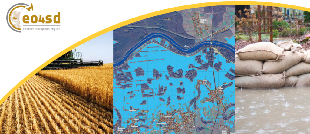
EO4SD – Eastern European Countries aims aims to achieve a step increase in the uptake of satellite-based environmental information in the development programs implemented by World Bank and European Investment Bank in the Eastern European Region, in particular to support the
technical collaboration and knowledge exchange among Eastern Partnership countries.
MAIN PARTNERS
World Bank (WB); European Investment Bank (EIB)
MAIN THEMATIC COMPONENTS AND EO-BASED INFORMATION
AGRICULTURE
›› Synoptic information on area under cultivation of the main crop types
›› Assessment of water availability for crops
›› Benchmarking against long-term data
›› Delineation of areas currently undergoing water stress
›› Forecasting yields and areas that undergo water stress
WATER RESOURCES MANAGEMENT
›› Flood monitoring and crisis monitoring (inundation extent, hydrologic modeling, DTMs)
›› Threat assessment (historical floods extent, historical river water bodies, snow cover analysis)
›› Risk and damage assessment (population distribution, land cover, land/properties replacement value maps)
LAND MANAGEMENT
›› Land use maps as reference data/input data for agricultural and flood risk products
›› Soil sealing/impermeable surfaces assessment
›› Waterbodies, streams variability monitoring
PRELIMINARY LIST OF CANDIDATE REGIONS/COUNTRIES
East and Central Europe
›› Poland
›› Czech Republic
›› Moldova
›› Armenia
›› Georgia
MAIN DEVELOPMENT PROGRAMS AND INITIATIVES
›› World Bank Poland Odra-Vistula Flood Management Project
›› World Bank Georgia Irrigation and Land Market Development Project
›› World Bank Armenia Irrigation Rehabilitation Management Project
›› World Bank Moldova Climate Change Adaptation Project
›› European Investment Bank Moldova Flood Protection Project


Discussion: no comments