Posted on April 8, 2019 by Zoltan
EO4SD-Urban at the World Bank: Seminar on Satellites and Geospatial Data for Resilient and Sustainable Cities
On March 27 the EO4SD-Urban consortium took part in a lunch session with partners at the World Bank, arranged by the Global Platform for Sustainable Cities (GPSC), the City Resilience Programme and ESA on the topic “Satellites in Action: How Geospatial Data Can Create Resilient and Sustainable Cities”. The session had the objective to illustrate how geospatial data can be used in different urban development stages to improve planning and resilience, and to help cities achieve sustainability.
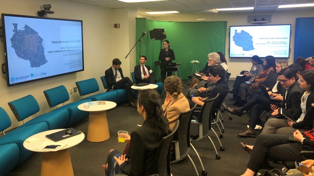
The session was opened by Mr. Sameh Wahba, World Bank Director for Urban and Disaster Risk Management, who stressed the valuable contribution of geospatial data for urban planning with specific reference to the past work done on subsidence mapping for Jakarta which is a major requirement for that dity. Christoph Aubrecht, seconded to the World Bank from ESA then presented a short summary of the ESA-World Bank co-operation and the EO4SD activities. Thomas Haeusler, EO4SD-Urban Project coordinator from GAF AG then presented the objectives of the EO4SD Urban project and the collaboration with several World Bank programmes by illustrating the utility of the geospatial data with specific examples. These included the spatial analytics for improving Master Plans in secondary cities in Tanzania, and the Land Use products for two Indian cities done for GPSC. Examples were also shown of how the products can be used for assessment of SDG indicators. Andreas Uttenthaler from GAF then presented the innovative developments for provision of 3D building height products and related building footprints, which are in high demand for urban resilience projects. Panel discussants Xueman Wang (GPSC Programme Coordinator), Chyi-Yun Huang (Senior Urban Development Specialist), Steven Rubinyi (Disaster Risk Management Specialist), and Katarina Barunica (Associate Industrial Development Officer, UNIDO) contributed also their views on the overall utility of the geospatial data for the programmes.
An interesting topic that was raised is that of the currently popular interest by many of the World Bank programmes and developing countries in the use of drone technologies to facilitate mapping. The discussion addressed advantages and disadvantages of using this technology versus satellite data and shed light on the need to examine the appropriateness of differing technologies for various urban applications.
An interesting discussion also ensued on the future use of geospatial products and how the technologies can be integrated more centrally into the World Bandk programmes, which is especially important for the EO4SD-Urban activity and ESA. The session highlighted the fruitful 3-year collaboration of EO4SD-Urban and World Bank which is envisaged to continue into the next years.