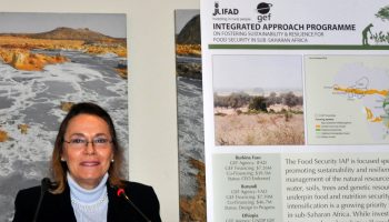
Challenges to agricultural production and food security in Africa have been widely documented. In order to tackle them, the Global Environment Facility has recently launched a IAP program to foster sustainability and resilience for food security. ESA’s...
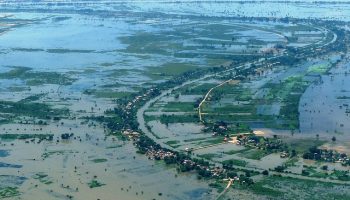
Flood history mapping is one of the products included in the EO4SD-Urban project portfolio. In this framework, multitemporal Sentinel-1 radar imagery has been used for continuously delineating flooded zones in the area of Phnom Penh (Cambodia) between...
In the late 18th century, when global population did not even reach 1 billion, Robert Thomas Malthus wrote an essay that popularised the idea that the growth of population would eventually outrun the increase in food production...
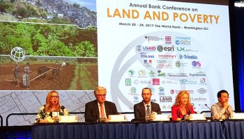
Dr. T. Häusler from GAF AG, the Lead for the EO4SD-Urban project presented the European Space Agency (ESA) supported programme at the World Bank Land & Poverty Conference, which took place at Washington DC (USA) on 20-24...
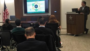
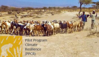
The WB team implementing the Pilot Program for Climate Resilience delivered a webinar titled “PPCR Learning Series: Session 5 – Climate Resilience & Earth Observation” on 27 September 2016. This focused on how connecting climate services with Earth...
During the Global Platform for Sustainable Cities working group meeting at ESA’s ESRIN establishment in Italy, September 26-28, four experts discuss how satellite data can be used to promote sustainable cities.
EO4SD – Water Resources Management aims at demonstrating the benefits of EO-based geo-information products and services to support programs related to the IFIs and stakeholders in Client States.
EO4SD – Urban Development aims at demonstrating the benefits of EO-based geo-information products and services to support urban planning tasks in the context of programs related to the IFIs and stakeholders in Client States.
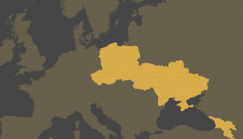
EO4SD – Eastern European Countries aims aims to achieve a step increase in the uptake of satellite-based environmental information in the development programs implemented by World Bank and European Investment Bank in the Eastern European Region, in particular to support the...
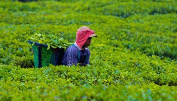
EO4SD – Agriculture and Rural Development aims at demonstrating the benefits of EO-based geo-information products and services to support programs related to the IFIs and stakeholders in Client States.