Posted on May 28, 2018 by Mariangela
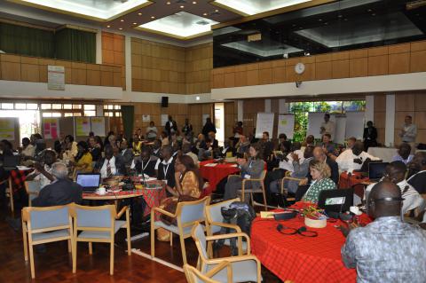
GEF-IAS-FS workshop in Nairobi, Kenya
The Global Environment Facility Integrated Approach Pilot (IAP) on sustainability and resilience for food security in sub-Saharan Africa is one of the target programs of the EO4SD (Earth Observation for Sustainable Development) “Agriculture and Rural Development Cluster”. The objective of this cluster is, among other things, to support and complement activities envisaged under the GEF Program with EO services and capacity for Monitoring and Evaluation (M&E), at both IAP country projects and regional levels.
To present the potential of EO-based products and services at local and regional level, as well as and to introduce how EO data can be translated into key statistics for Monitoring and Evaluation activities, representatives of the Agriculture cluster took part to the second edition of the GEF-IAS-FS workshop in Nairobi (Kenya) from 8 to 11 May. The workshop was attended by the programme´s partners as well as key project representatives from a total of 19 African countries (12 IAP countries and 7 other countries invited to learn about the programme and potentially participate in the GEF programme).
Data generation and analysis session for M&E
Monitoring and Evaluation (M&E) activities of the IAP program and its projects play an important role by tracking progress towards fulfillment of the mission to deliver global environmental benefits. Monitoring activities use systematic collection of data to keep activities on track, whilst evaluation activities are a systematic assessment of an activity (program or project) that assesses relevance, effectiveness, efficiency, results and sustainability. The Agriculture cluster tries to resolve the data and information gaps concerning the status and change in land use, vegetation cover, agricultural production and water productivity, which are all important biophysical indicators for M&E. This information allows to those in charge of implementing project and programs to maintain sufficient flexibility in responding to a potential change of circumstances.
To display the importance of having this data at the disposal of project and program task leaders, a parallel session dedicated to data generation and analysis for monitoring project impacts on ecosystem health was organised during the conference. During this session, a representative of the Agriculture cluster presented to more than 30 participants the first EO4SD services for Burkina Faso, Ethiopia, Uganda, Niger and Malawi, highlighting the added value of customised data production for small project areas.
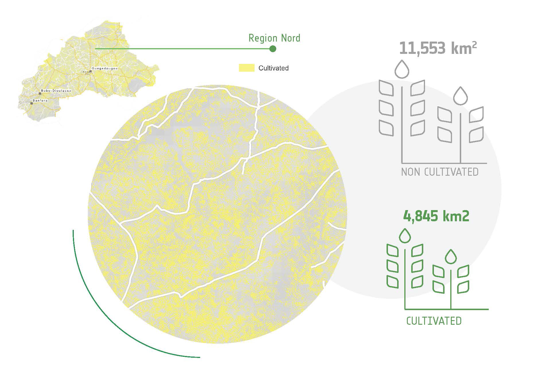
These examples demonstrate how, by using Earth Observation-based technology, it is possible to obtain key indicators for M&E activities such as the number of cultivated areas and erosion risk levels, among other information.

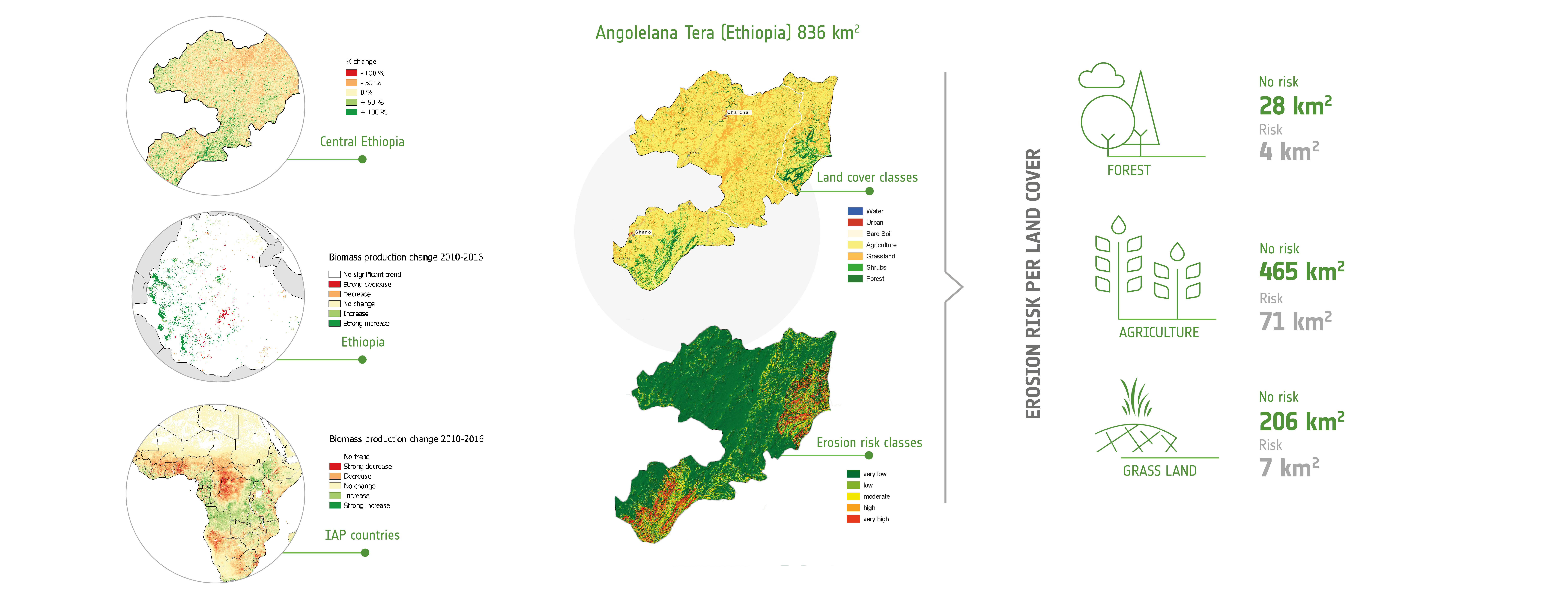
EO4SD statistics can be obtained by combining maps of land cover classes and erosion risk classes. Erosion risk level per land cover in the Angolelana Tera (Ethiopia) is shown in the example.

Example of EO4SD statistics on cultivated areas in Burkina Faso presented at the II GEF-IAS-FS workshop
Preliminary EO4SD information is now also accessible via the IAP FS programme´s Resilience Atlas.

